June 2016 - Essex Skypark to Gaston's White River Resort, Arkansas
I got up at 4:30 AM and called the Flight Service Station to get a weather brief and file my ADIZ flight plan. The weather was questionable for the early morning, but looked reasonable for a day long flight to Arkansas. I had been watching the weather intensely all week and knew that today would be similar what had occurred the last few days when the actual weather had been much better than what was forecasted.
The kids all got up and said goodbye, then Lynnette drove me out to Essex Skypark -- what a great wife! There was some ground fog but I knew it would burn off before I took off. I preflighted the Citabria, topped off the tanks, and then there was nothing to do but start the journey.

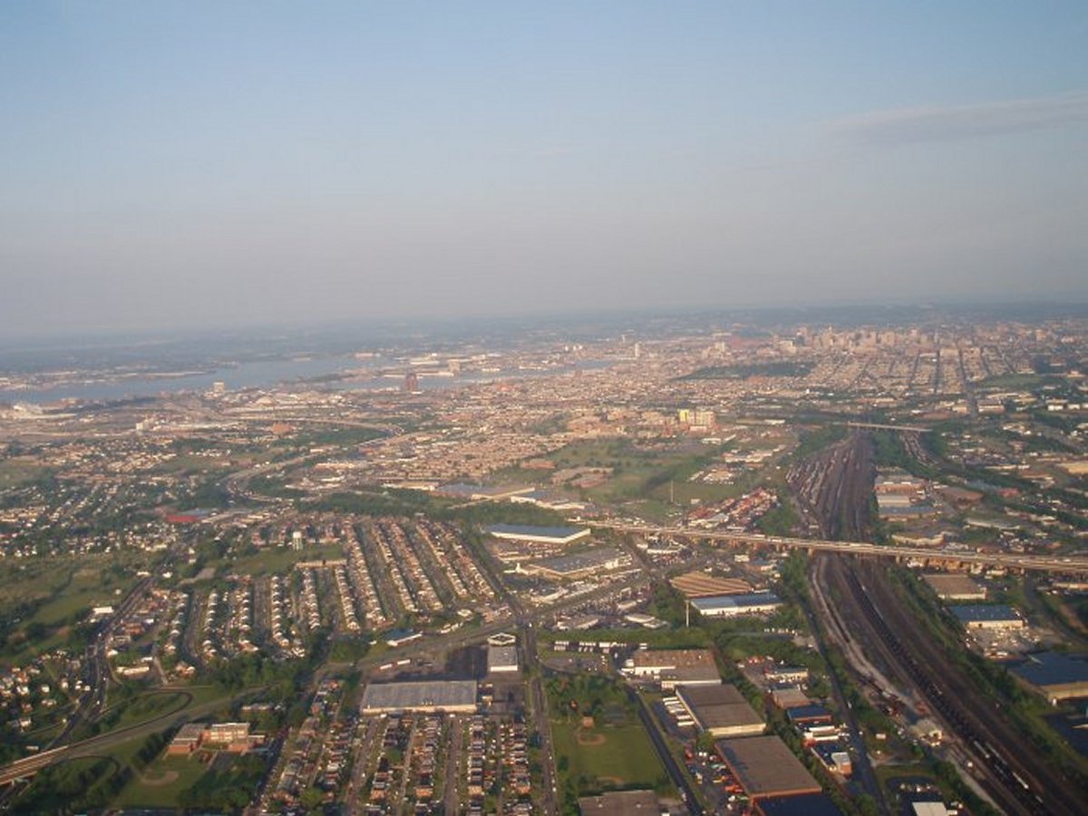
Passing Baltimore heading west!
We flew west for a little while, then encountered a cloud layer at 4,500 feet. Since the mountains are almost that high, we couldn't go underneath. We could fly over them but the problem with that is you don't know how far the layer extends west. John had the new Garmin 396 GPS unit which has the ability to download weather via XM Satellite. He was able to see on his Garmin 396 that the cloud layer ended near the airport we were planning stopping at for breakfast. So we were able to continue on.
Sure enough, the cloud layer at Fairmont Municipal Airport in West Virginia, was broken enough for us to descend and land. Fairmont (4G7), elevation 1,097 feet, has a 50's and 60's Diner close to the airport where we had a great breakfast. When we took off, the clouds were almost completely gone.


Looking south at the Mississippi.
The west side of the Mississippi was dominated by these huge, flat farm fields. They were perfect for some low-level flying, but it was getting late in the day and I was getting too tired for that sort of thing.


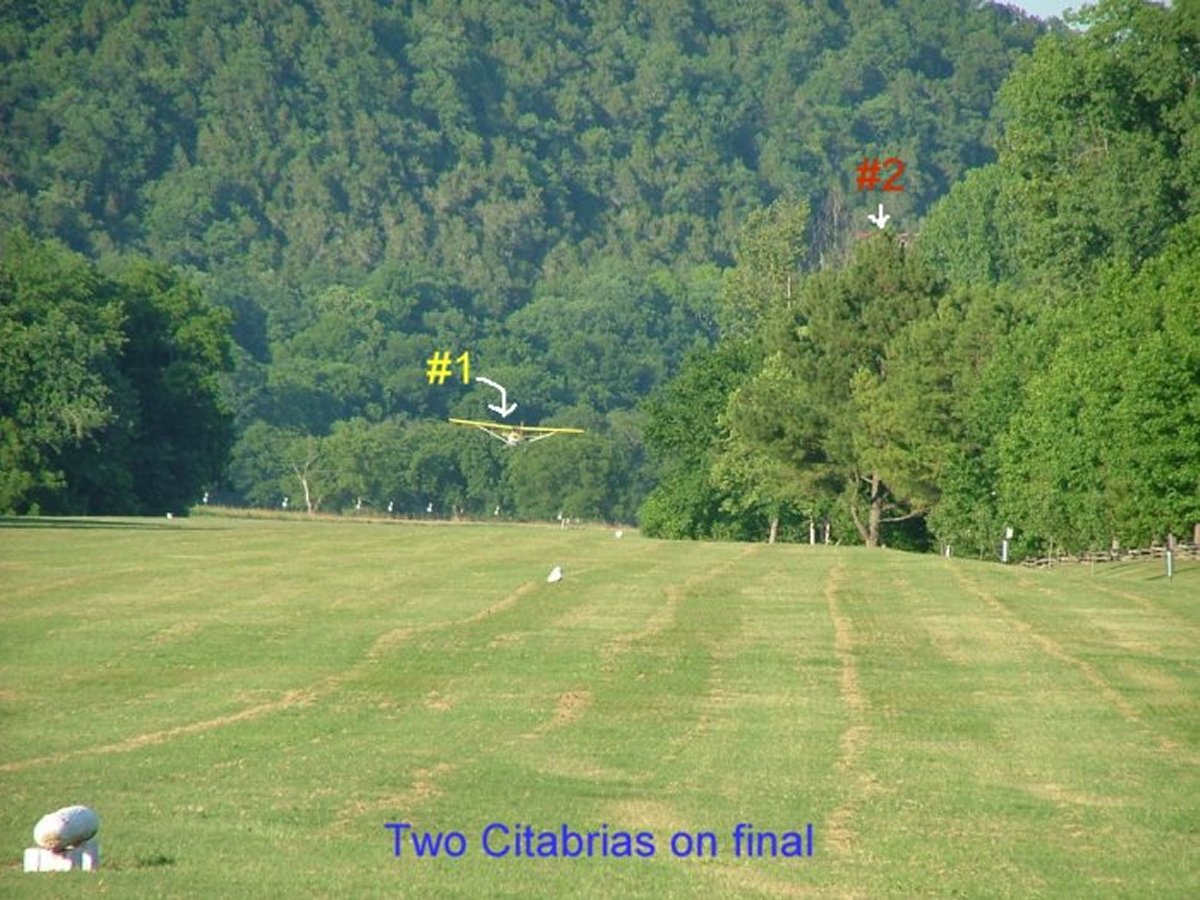
I'm on short final and John is right behind me. Someone at the fly-in took this neat series of shots of our arrival.